Artec Remote app adds new navigation features for enhanced Ray II 3D scanning

Leading 3D scanning hardware and software developer Artec 3D has rolled out an exciting new update for its Artec Remote app that promises to help users achieve even better results.
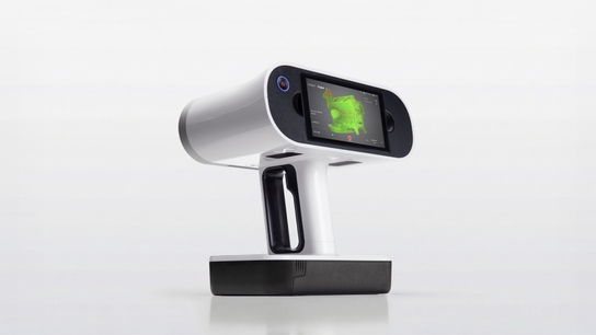
The Artec Remote app allows owners of the Artec Ray II long-range 3D scanner to seamlessly connect with their device and capture large objects or areas from a distance. Thanks to a recent update, these users can now take advantage of a more advanced, intuitive navigation mode.
Using a newly integrated Mapping function, it’s possible to get a bird’s eye view of your 3D scanning progress, facilitating navigation and complete digitization. Built around Ray II’s Visual Inertial System (VIS), which tells the scanner exactly where it stands in a 3D environment, the feature is also great for optimizing placement and planning projects from the top down.
This powerful Mapping functionality works perfectly with the app’s existing 3D Point Cloud mode. Together, these tools allow users to rotate, zoom into captured areas, and evaluate aspects such as geometric accuracy, surface coverage, and level of detail. Choose one scan, rotate the camera, inspect results, and then move to the next location to fine-tune your model.
Lastly, the Artec Remote app’s 360° Panoramic mode streamlines the checking of photographic texture quality. ‘Stand inside’ scans just like in street view on Google Maps to spot overexposed areas. Artifacts also become obvious and quick to remove, resulting in true-to-life 3D models.
Already, Artec’s lightning-fast, 130-meter range LiDAR scanner has been used to digitize everything from railway lines to entire factories. With the latest batch of Artec Remote app updates, users can expect a much smoother workflow, which allows results to be visualized immersively on-site in unprecedented detail for the best Ray II scans possible.
The latest version of the Artec Remote app is available for download now on both the App Store and Google Play.


